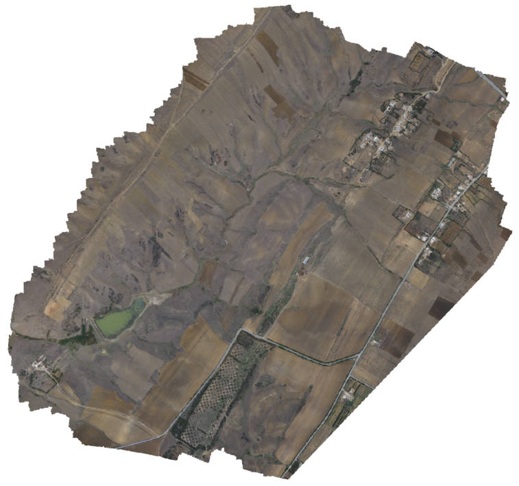
Orthophoto (partial) Kamech
Orthophoto covering most of the Kamech catchment. This orthophoto results from a downscaling of a finer orthophoto created from images acquired by kite
Simple
- Date ( Création )
- 2016-01-29T12:30:00
- But
- Light (<10Mo) and illustrative orthophoto, to be used as a background for ORE OMERE datasets
- Etat
- Finalisé
Auteur
IRD
-
Denis FEURER
(
Research associate
)
2 place Pierre Viala
Montpellier
Campus Supagro - Bâtiment 24
34090 Cedex
France
- Fréquence de mise à jour
- Inconnue
- Mots clés ( Localisation )
-
- Tunisia
- Lebna
- Kamech
- Mots clés ( Thème )
-
- Orthophoto
- Imagery
- Contraintes d'accès
- Licence
- Contraintes d'utilisation
- Licence
- Autres contraintes
- Attribution-NonCommercial-ShareAlike 2.0 Generic (CC BY-NC-SA 2.0)
- Type de représentation spatiale
- Raster
- Dénominateur de l'échelle
- 25000
- Langue
- en
- Jeu de caractères
- Utf8
- Catégorie ISO
-
- Imagery base maps earth cover
- Date de début
- 2013-09-18
- Date de fin
- 2013-09-19
N
S
E
W
))
- Nom du système de référence
- WGS 84 / UTM zone 32N (EPSG:32632)
- Nom du système de référence
- EPSG / WGS 84 / UTM zone 32N (EPSG:32632) / 7.9
- Ressource en ligne
- tn_kamech:KamechOrthoKite ( OGC:WMS )
- Niveau
- Jeu de données
- Généralités sur la provenance
- Data at the root of this orthophoto are individual aerial images acquired by with GSD ranging rouglhy between 0.05 and 0.15m. Theses images have been processed with photoscan and then georeferenced under Qgis with Spline and 38 GCP taken on the OpenLayers GoogleHybrid layer. Finally, georeferenced ortho has been downscaled to 2m GSD and reprojectzd to EPSG 32632. Image acquisition and processing has been done by the author.
gmd:MD_Metadata
- Identifiant de la fiche
- 6534b547-ee84-4236-a137-a7aac5d4592b XML
- Langue
- en
- Jeu de caractères
- Utf8
- Date des métadonnées
- 2020-07-27T10:07:32
- Nom du standard de métadonnées
- ISO 19115:2003/19139
- Version du standard de métadonnées
- 1.0
Point de contact
Aperçus

thumbnail

large_thumbnail
Fourni par

Ressources associées
Not available
 GéoCatalogue de l'UMR LISAH