 GéoCatalogue de l'UMR LISAH
5000
Type of resources
Available actions
Topics
Keywords
Contact for the resource
Provided by
Years
Formats
Representation types
Update frequencies
Scale
Resolution
-
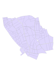
Parcellaire cultural du 22 mai 2009 ---- Fichier : roupar123a2_l93
-
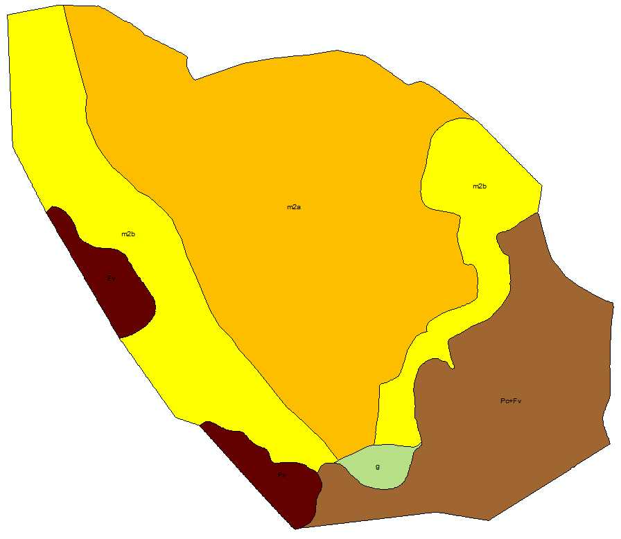
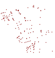
Roujan : géologie du BV ---- Fichier : rougeo12311_l93
-
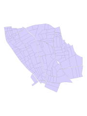
Parcellaire cultural du 24 juin 2002 ---- Fichier : roupar12321_l93
-
Parcellaire cultural du 25/07/1997 strictement limité au BV ---- Fichier : roupar11311_l93
-
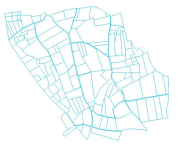
Collection parcellaire cultural du BV de Roujan à partir de 1997. Détail : - Parcellaire cultural du 25/07/1997 strictement limité au BV ---- Fichier : roupar11311_l93 - Parcellaire cultural du 25/07/1997 Parcelles entières ---- Fichier : roupar12311_l93 - Parcellaire cultural du 24 juin 2002 ---- Fichier : roupar12321_l93 - Parcellaire cultural du 16 décembre 2002 ---- Fichier : roupar12331_l93 - Parcellaire cultural du 25 mars 2003 ---- Fichier : roupar12341_l93 - Parcellaire cultural du 19 mai 2003 ---- Fichier : roupar12351_l93 - Parcellaire cultural du 24 février 2004 ---- Fichier : roupar12361_l93 - Parcellaire cultural du 19 octobre 2004 ---- Fichier : roupar12371_l93 - Parcellaire cultural du 08 juin 2005 ---- Fichier : roupar12381_l93 - Parcellaire cultural du 03 mars 2008 ---- Fichier : roupar12391_l93 - Parcellaire cultural du 22 mai 2009 ---- Fichier : roupar123a2_l93 - Parcellaire cultural du 21 avril 2010 ---- Fichier : roupar123a3_l93 - Parcellaire cultural du 30 août 2012 ---- Fichier : roupar123a4_l93
-
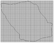
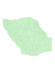
Roujan : maille 20x20m par dessus le BV ---- Fichier : roumai12011_l93
-
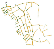
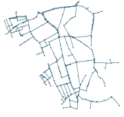
Fossés du BV (original 1997) ---- Fichier : roufos28311_l93
-
Roujan : noeuds des fossés du BV (pour Cécile D.; 2005) ---- Fichier : roufos38351_l93
-
Fossé du BV Roujan (pour Vincent S.; 2 exutoires; 2003) ---- Fichier : roufos28331_l93
-
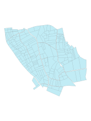
Parcellaire cultural du 25/07/1997 Parcelles entières ---- Fichier : roupar12311_l93